
Kent Previous Residents by Era
The evidence for previous residents changes with the era. A deed is a title event, a directory is a dated listing, a census is a household snapshot, and a map documents the structure or block. Start with the most recent stable property key, then move through records that match the period. Kent's record trail moves from online county indexes to archive shelves and counters. That change in access is normal, especially for an address whose history reaches before a web portal.
| Source | Years It Covers | Where Held | What It Shows |
|---|---|---|---|
| Recorder online name index | 1979-present | Portage Recorder eSearch | Named party and document trail, not an address-first roster |
| Recorder routine images | 2001-present | eSearch Images link | Ordinary document images, subject to stated exclusions |
| Recorder book/page and counter records | Before 2001 image scope, including pre-1979 research | Recorder, Ravenna | Historic title trail and copy route |
| KSU Kent and Portage directories | 1918-2020 | KSU Special Collections | Listed subscriber or address by edition, not all residents |
| Federal census | Public releases through 1950 | Authorized census research access | Household at enumeration, not annual address proof |
| Kent Sanborn maps | 1889 and 1919 known; Ohio resource through 1962 | KSU, Library of Congress, and OPLIN | Building and block context, not occupant names |
For the most recent title change, begin with the Portage Auditor property search to capture the parcel, situs, current titled owner, and legal description. The Auditor's mailing field is tax-delivery information. It is not proof that the owner occupied the situs, and it does not name every member of a past household.
Kent Previous Residents Start With Parcels
A remembered street number is a useful lead, but the parcel and legal description make a Kent address trail reproducible. The Auditor's verified QuickSearch is labeled “Property Search: Parcel, Owner, or Address.” Record the parcel number, situs, current owner, tax mailing address, legal description, and any sale or transfer clue shown. The parcel number joins the map, tax record, and recorded-document trail. The legal description can survive a changed street name or number.
County GIS also links the property viewer, recorder record search, tax maps, plat maps, and surveys. Older or superseded surveys may not appear as notes on the online tax maps. If a boundary or lot history is unclear, ask the GIS or Tax Map office about the current physical map set instead of guessing from a screen.
Kent Recorder Cutoffs for Previous Residents
The Portage Recorder eSearch is useful because its name index begins in 1979. Routine recorded-document images are ordinarily viewable and printable from 2001 forward. A 1979-2000 result normally gives book and page rather than the web image needed to read the instrument. Before 1979, title work switches to counter or archival research. Affidavits, federal tax liens, powers of attorney, and military discharges are not available for online image viewing.
Insider tip: a result with book and page is a route forward, not the end of the title trail. The Recorder is at 449 S. Meridian Street, fourth floor, Ravenna, and its public contact information includes a copy-request email. Bring the document number, book/page, parcel, legal description, or party name. The office says staff can assist with access but does not perform the research itself.
The Portage Recorder modernization profile supplies context on current land-record access.
Modernization does not change the verified 1979 index start or create an unverified new image range, so retain the documented cutoff in a research log.
Kent Previous Residents Through Deed Chains
For a Portage title trail, verify the legal description at every link. A property owner may have more than one lot, so a matching surname is not enough. Search the current titled owner in the grantee role to locate the deed by which that person acquired the parcel. That acquisition instrument names the earlier grantor. Search the earlier owner as grantee to locate that owner's acquisition, then repeat. The workflow follows a sequence of recorded transfers, not a sequence of presumed occupants.
- Open the current Auditor record and copy the parcel number, situs, legal description, and titled owner exactly.
- Search the current owner as grantee in Recorder eSearch and open the acquisition document or its book/page entry.
- Compare the deed's legal description with the parcel before accepting the transfer as the same property.
- Use the prior grantor from that deed, then search that person as grantee for the earlier acquisition.
- At the 2001 image boundary, request the book/page copy; for records before 1979, use the Recorder counter or archival route.
- Grantor
- The party conveying an interest in the recorded document.
- Grantee
- The party receiving that recorded interest. An earlier owner is searched as grantee to find the deed by which they acquired the property.
- Chain of title
- The ordered sequence of recorded instruments used to connect a parcel's transfers over time.
- Legal description
- The formal lot, block, tract, or other land reference used to tie a recorded document to the correct parcel when street labels change.
Kent Street Names Break Past Trails
Historic Kent address searches need the street name that belonged to the record's date. The City's street-change table documents Normal Avenue becoming University Drive in 1935, Courtland Avenue becoming Temple Avenue in 1949, and the 1977 relocation of State Route 59 from South Willow Street to Langmere Drive as Haymaker Parkway. It also documents other changes, including Admore Drive to Stonewater Drive in 2007. Test the former and current forms, then use the legal description and contemporary map to verify the connection.
The locality name can shift too. Kent was Carthage or Franklin Mills before the recorded 1863 name change. Search catalogues, newspapers, and archives under all three names. A modern Kent label should not replace the wording printed on a directory, deed, map, or census record.
Note: Preserve the source's street and locality wording before adding a separately verified modern cross-reference.
Kent Previous Residents in Census Years
A title chain tells who transferred an interest. It does not establish every person who lived at the address. Pair each transfer interval with the Kent telephone-directory volume nearest in time and the nearest public census. KSU's telephone-directory collection reaches from 1918 to 2020, and the public census endpoint is 1950. A directory is a listing on an edition date. A census is a household at an enumeration date. Keeping both dates visible avoids claiming continuous occupancy.
- Place each deed or transfer date in a timeline for the parcel.
- Request or inspect the KSU directory volume closest to that date, and transcribe the printed name and address exactly.
- Check an address-ordered or criss-cross portion only when the particular volume includes one.
- Pair the listing with the nearest census and record the enumeration date separately from the directory date.
- Use a Sanborn map to confirm the contemporaneous block and structure, then mark gaps rather than forcing an occupancy sequence.
The collection details belong with the Kent city directory collections. For a current parcel and legal-description route, use the Kent street address directory. Each serves a different part of the address trail.
Kent Sanborn Maps Are Not People Lists
Myth: a fire-insurance map identifies the people who lived in a building. Kent's 1889 Sanborn sheets show streets, sidewalk and street widths, property boundaries, numbers, building outlines, materials, floors, uses, and named businesses or institutions. The December 1919 set has 15 sheets. Neither map identifies an individual homeowner or occupant. Use the map to establish the physical house or block, then a dated directory, census, or deed for a different kind of evidence.
KSU's new University Photographs finding aid covers material from 1910 through 2025 and describes photographs of people, places, events, and University history. It can supply historical context, but the finding aid does not mean every image is digitized or that a photograph proves residency.
The KSU University Photographs finding aid describes this additional visual-history route.
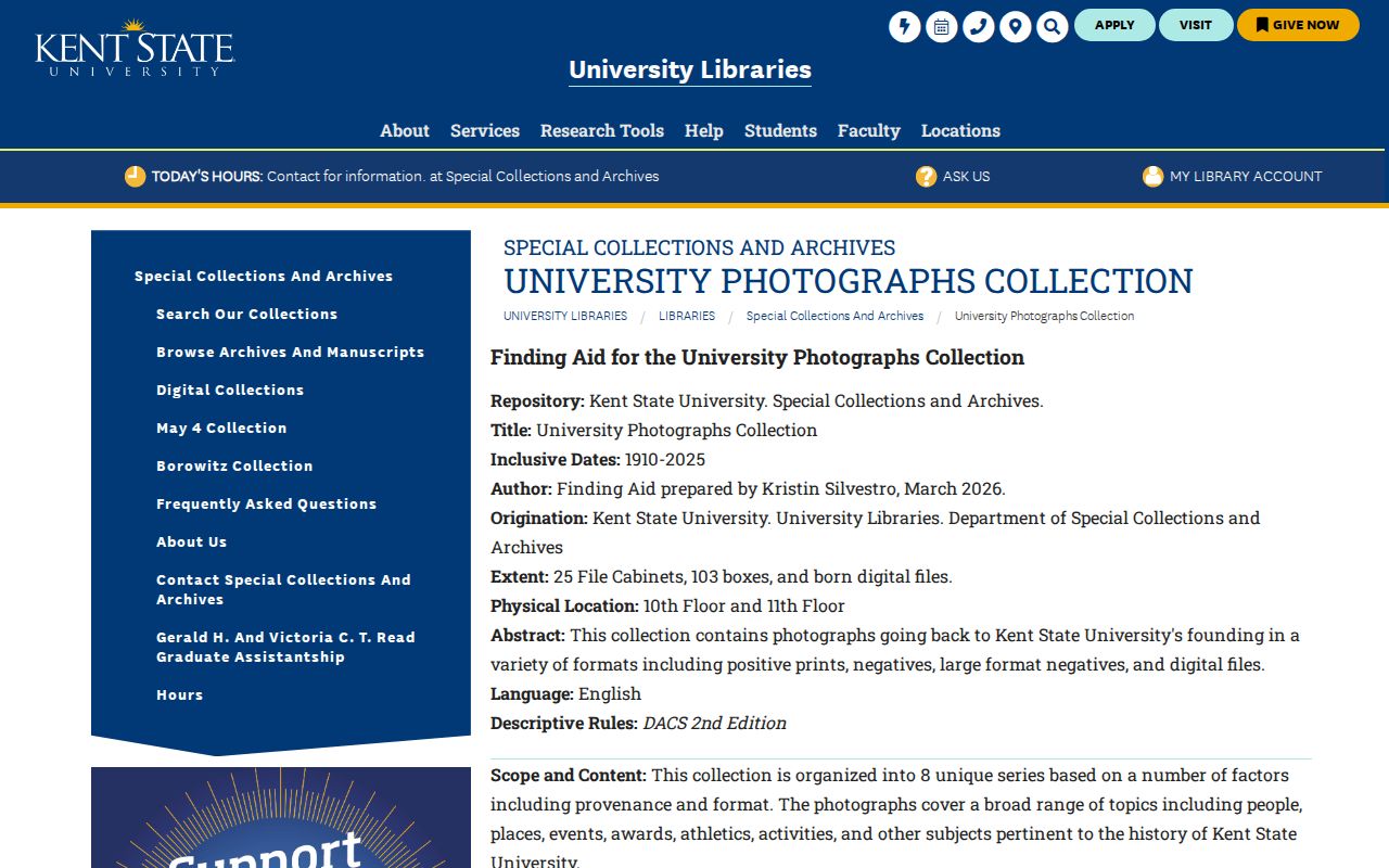
Visual material can help date a place or event, while the address trail still needs a source that records the relevant person or document role.
Kent Archive and Probate Endpoints
When a past-resident trail reaches an older generation or a death, shift to the custodian that holds the event record. Portage Probate Court keeps marriage records from about 1808 and estate and guardianship records from 1817. A marriage card or estate file can connect names, heirs, fiduciaries, or property transitions, but it is not an address roll. Ohio Memory's Kent Tribune route, Kent Historical Society clippings, and probate materials can help date a transfer or explain a name change when corroborated.
No current City or Kent Free Library house-history service with a published menu was located. The practical local fallback is the Kent Historical Society, which lists deeds and wills, family material, maps, business and church records, and clippings. KSU map resources and the County Recorder and Auditor add the property side. For still earlier county evidence, the Portage County Historical Society describes original tax lists, probate packets, cemetery indexes, poll books, diaries, letters, and indexed marriage and obituary resources.
The KSU Special Collections search guide explains the archive and manuscript discovery route.
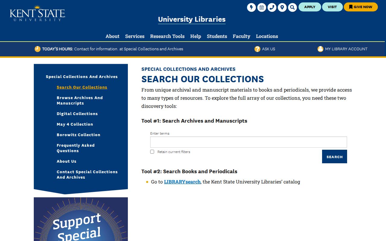
Searching both the archives route and catalog helps locate a specific collection before asking an archive for access conditions or an item-level reference.
The Portage County Historical Society research materials describe its pre-digital source holdings.

These archival holdings can extend a family or property chronology before the telephone-directory era, but item access and digitization must be confirmed with the repository.
Kent Previous Residents Need Dated Notes
A defensible finding for previous residents is an event with a source and date, not a continuous story. A recorded deed proves a transfer. A directory proves a dated listing. A census proves an enumeration-date household. A Sanborn sheet proves building context. A probate filing proves a legal role. Order those facts by date and keep the document number, book/page, parcel, edition, or collection citation that allows the next searcher to repeat the step.
A gap may reflect a move, a sale, an unlisted listing, a changed street label, a name variation, an archive gap, or a record outside online coverage. Safe at Home can also lawfully obscure a post-certification property identifier or address. Treat a stopped trail as a limitation and ask the correct custodian about an existing record or index.
Lawful personal use. Use Kent property and historical records for family or house history, and never use a finding to pursue, harass, or expose a living person.