
Kent Neighbors by Block Source
Looking up Kent neighbors is a question about the land around one address, not a way to assemble a list of people. A parcel map can show which pieces of land meet. An Auditor card can identify a titled owner or tax-mail field. A Recorder document can establish a dated land-record role. Each source has a different job, and none proves that a titled owner lives at the parcel or identifies everyone nearby.
| Source | What it shows about a block | Access |
|---|---|---|
| County GIS and tax maps | Parcel geometry, adjoining boundaries, tax-map and plat references | Online links plus the GIS and Tax Map counter; older surveys can be unlinked. |
| Auditor Property Search | Parcel, situs, titled owner, tax-mail field, valuation, and sale context | QuickSearch by parcel, owner, or address; property evidence only. |
| Recorder eSearch | Recorded parties, legal description, document number, and title history | Index from 1979; usual images from 2001; earlier records need a counter or copy route. |
| Board precinct route | Street-segment precinct and polling-place geography | Not a person-by-street browse. |
| City neighborhood booklet | Named civic and historical area context | A selected list, not a membership directory. |
Keep the terms exact. A situs is the physical property location. A tax mailing address delivers tax correspondence and may be elsewhere. A legal description or parcel number bridges maps and recorded documents. Those distinctions prevent a neighbor question from becoming an unsupported claim about a household.
Note: Kent neighbors can share a block while their parcels, precincts, postal routes, and City neighborhood context use different boundaries.
Map Kent Neighbors by Parcel
Begin with one verified Kent address in the official Auditor search or County GIS route. The research did not verify a dedicated neighboring, buffer, or radius control. Use the displayed parcel polygons instead. Select the subject parcel, record its number and legal description, then identify only the polygons that touch it or immediately surround it. This produces a clear property-boundary view, not an inferred resident list.
- Enter the address, parcel number, or owner lead in the Auditor’s Property Search and record the situs, parcel number, legal description, and map-view date.
- Open the map or tax-map route and identify the immediate surrounding polygons. Keep a short ledger of parcel numbers and the date viewed.
- Open an Auditor card for each relevant polygon, keeping titled owner and tax-mail fields separate from the parcel location.
- Use Recorder eSearch only when a legal-description or transfer question needs a dated document. Match that description before treating two records as the same parcel.
- For a new, missing, or oddly shaped polygon, ask the Tax Map office about the current physical map set and the related plat or deed reference.
The Kent neighbors process is address to parcel, parcel to adjacent polygons, polygon to Auditor record, then legal description to a Recorder document if a title question remains. For a full corridor rather than an immediate block, the Kent address directory by street uses the broader address trail.
Kent Neighbors and Owner Fields
An adjoining parcel can supply land-record information, but a property owner is not every neighbor. The Auditor separates the owner, tax-mail, and situs fields. A mailing address may be a post-office box, trust, agent, or another location. It is useful for following a property record, but it does not establish occupancy and never identifies every household member at the situs.
Keep a record key with every result: parcel number, source date, and the exact displayed field. A Recorder document may confirm a grantor, grantee, or legal description. It does not turn a nearby parcel into a resident roster. This restraint matters most when an entity holds the property, an address has changed, or the map appears before a parcel split.
Kent Neighbors Through Land Records
Use the Recorder only to answer a Kent title or boundary question after the map and Auditor record identify the parcel. Search the known titled owner in the grantee role to locate an acquisition, then compare its legal description with the parcel. The index begins in 1979 and ordinary online image access begins in 2001. Results from 1979 through 2000 commonly point to book and page, while older research belongs at the Recorder counter or in a focused copy request.
A plat is a recorded map of lots, blocks, or subdivisions. A survey is a measured land document. Both can explain a boundary without naming a resident. The GIS links include property-viewer, Recorder, plat-map, scanned tax-map, and survey routes, but an older or superseded survey may not be linked online. Ask Tax Map staff for the physical map set or recorded reference rather than drawing a boundary from an absent link.
Kent Neighbors and Precinct Geography
The Portage Board’s street-segment search assigns a street location to a precinct and polling-place context. It does not expose a voter list. Ohio’s individual voter lookup is name-led. Those are different tools from a parcel map, and neither should be treated as a way to browse everyone on a Kent block.
R.C. 3503.26 supplies the Board-of-Elections process to inspect or copy precinct registration lists where available, subject to its rules and safeguards. A specific, lawful request belongs with the Board, not with a scraped or republished list. Preserve the election year and precinct because precinct geography can change. Protected voter records remain outside the public material.
Note: A precinct, City neighborhood, ZIP, and parcel are four distinct kinds of Kent geography.
Kent Neighborhood Names Give Context
Kent’s neighborhood booklet names Vine & Summit Streets, Davey and Kent Families, South End, West River, Riverbend, University Heights, University Woods, Crain-to-Main, Forest Lakes, Lakes of Franklin Mills, Fieldstone, White Oaks, Lake Street, Longcoy & Middlebury, West Side, and Hudson Road. The booklet says this is a selection, not a complete City taxonomy. These names help describe place, not membership.
| Area name | Useful civic or historic context |
|---|---|
| South End | City-described early tradespeople and railroad-yard history. |
| Davey | City-described mid-to-late nineteenth-century fabric. |
| Vine Street | Campus-adjacent context. |
| West River and Riverbend | River, trail, and downtown context. |
| University Heights and University Woods | University-adjacent context. |
No public City roster for a neighborhood association, HOA, congregation, or block-watch membership was found. The City’s Community Engagement Coordinator and neighborhood programming are civic-contact routes, not a directory of who belongs to an area.
Kent Neighbors in Civic Records
A block question may really concern a public project, street condition, planned improvement, ward, or named neighborhood event. For that question, use the City’s agenda, minute, plan, map, permit, or a specific public-records request. State the address or corridor, department, record category, and date range. Ask for an existing map, report, permit, or agenda attachment rather than a reconstructed neighborhood list.
Kent Customer Self-Service is the City’s permit route. Research did not verify anonymous public fields for every permit or code record, so a known address and date may need a City request for the specific existing file.
Kent Customer Self-Service is shown below as the City route for a documented project or permit record.
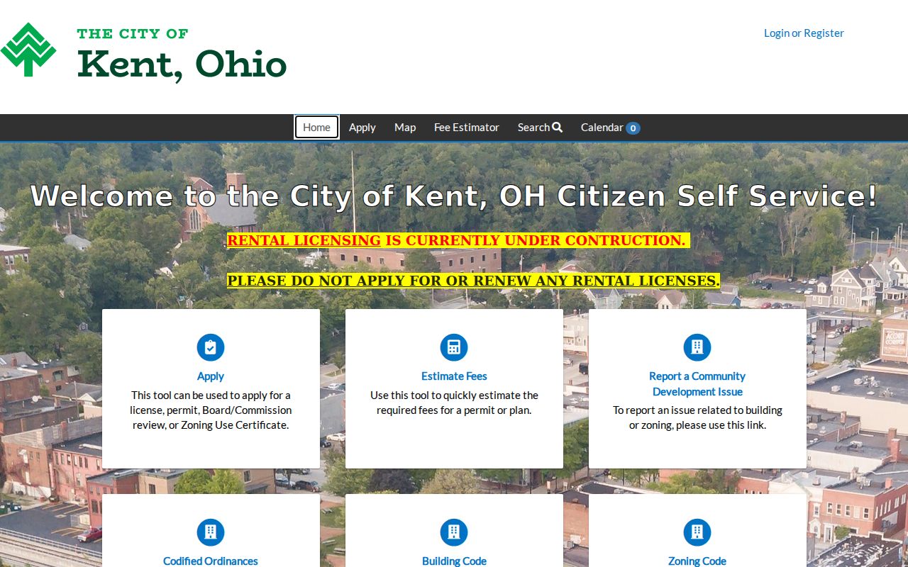
A permit can date work at a Kent address. It does not prove who lived there or create a neighborhood directory.
Kent Neighbors: Official Records First
A County record identifies a dated field from its custodian. An unaffiliated compiled profile may combine public filings with other data, can lag behind a move, omit a record, or merge same-name people. It is not an official block roster. Return to the source record for the exact field and date instead of repeating a compilation as a fact about Kent neighbors.
| Source category | Best use | Boundary |
|---|---|---|
| Official parcel, map, or deed record | Property geometry, title role, or recorded land event | Verify by parcel, legal description, and record date. |
| Board precinct process | Election geography or a statutory list route | Not a self-service neighbor browse; safeguards apply. |
| Unaffiliated compiled information | A lead to verify, if used at all | May be stale or conflated; do not treat it as a roster or republish protected data. |
The safest comparison is simple: official records answer the particular property or civic question they record, while a compilation does not replace the custodian.
Kent Neighbors and Protected Addresses
Some breaks in a parcel trail are intentional. Ohio Safe at Home can provide eligible participants with a substitute address. For a qualifying real-property acquisition after certification, the confidential-property procedure can require public-facing Recorder, Auditor, Treasurer, and Engineer databases to obscure specified property identifiers and address links. A protected participant’s voter record is also removed from public registration versions, pollbooks, and lists.
R.C. 149.45 is narrower than a general street-address removal rule. Its online-redaction process addresses specified personal numbers and accounts, while its qualifying public-service-worker route has separate conditions. HB 265 expanded related protections effective April 9, 2025. An ordinary Kent street address is not therefore erased from every record.
Ohio HB 265 provides the legislative context for the recent revision.
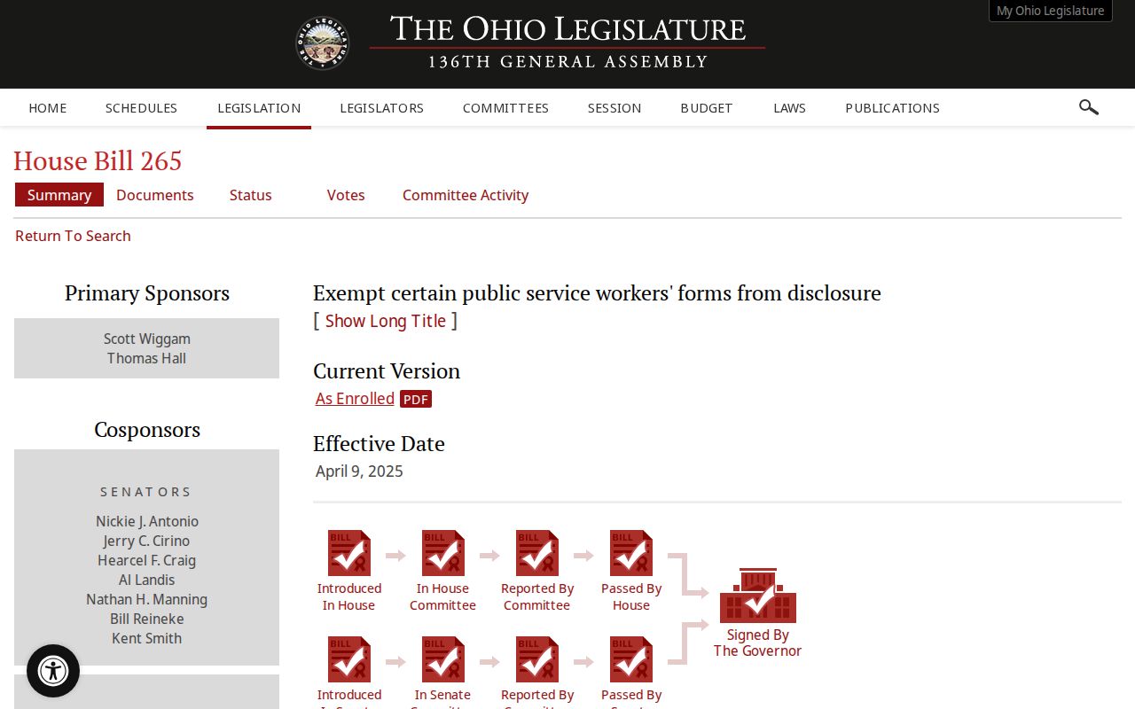
The amendment informs how a custodian handles protected information. It does not authorize a reader to infer or recover an obscured address link.
Kent Neighbors Privacy Limits
A nearby parcel does not identify unrecorded household members, utility customers, package recipients, protected voters, Safe at Home participants, or someone merely present at an address. Utility and delivery information are not ordinary public directory sources. Ohio BMV personal information is restricted by R.C. 4501.27 and the federal Driver’s Privacy Protection Act, so motor-vehicle records are not an address-search fallback.
R.C. 149.45 is shown below as the statutory online-redaction reference. Its scope matters because a protected field or an absent result is a boundary, not a reason to seek the information through another channel.
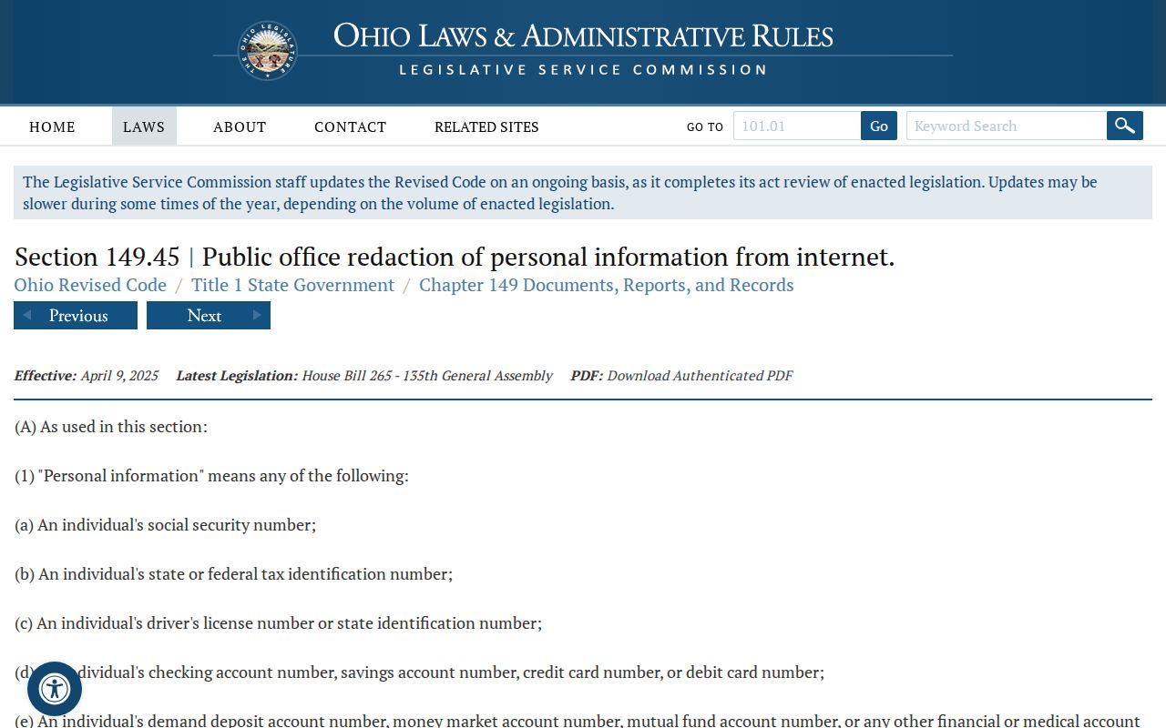
When a record is sealed, redacted, protected, or unavailable online, ask the appropriate custodian only about a specific existing record and retain no protected information.
Lawful use. Use Kent property and civic records for legitimate personal, family-history, property, or civic questions. Never use a block record trail to watch, harass, threaten, or harm another person.
Kent Neighbors Need a Date
Historic context can make a Kent block easier to recognize without turning history into a list of people. The City’s history material describes Kent’s Tree City association with horticulturalist John Davey. A search for Davey, South End, river, or university context can help locate maps, clippings, and records, but it does not establish a relationship to a person with that name.
Kent’s history and heritage page provides that local context.
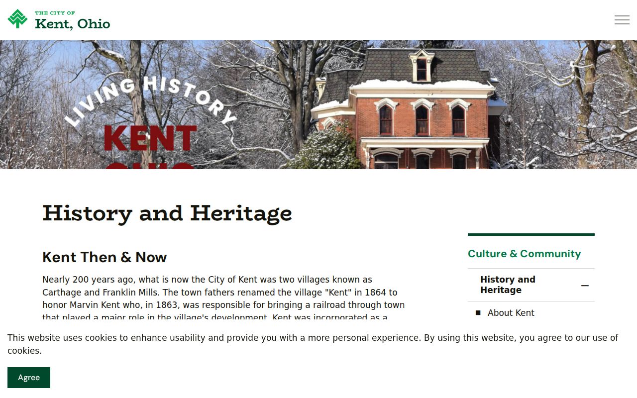
For river, downtown, Davey, South End, or University-adjacent places, pair the historic term with the date, parcel legal description, and the specific City or County record. A current map alone cannot settle an older boundary or occupancy question.